








Most outdoor-watch users do not need full offline maps. Route Back is enough for familiar out-and-back activities, while breadcrumb navigation suits a prepared course that stays on marked trails.
Offline maps become the right choice on unfamiliar, junction-heavy routes because they show surrounding paths rather than a single line.
For KOSPET users, the decision is direct: choose TANK M4 for map-based navigation and TANK T3 ULTRA 2 for longer GPS recording with basic return guidance. Compare the wider rugged smartwatch for outdoor only after choosing the required navigation level.

What Is the Difference Between Offline Maps, Route Back, and Breadcrumb Navigation?
Offline maps help users choose between nearby paths, breadcrumb navigation keeps users on one prepared course, and Route Back guides users along a recorded activity. Buy according to the problem the watch must solve and the capability the buyer accepts losing.
Garmin’s guide to routes and tracks describes tracks as breadcrumb trails showing where someone traveled. Its Back to Start instructions distinguish straight-line return guidance from retracing the recorded path. The Suunto offline-map manual states that turning maps off leaves only the breadcrumb trail.
| Navigation feature | What it solves | What the user sees | What the user gives up | Best match |
|---|---|---|---|---|
| Offline Maps | Choosing a path at junctions, closures and detours | Stored roads, trails, terrain and current position | Higher price, more setup and more storage use | Unfamiliar terrain and complex trail networks |
| Breadcrumb Navigation | Staying on a prepared course | A GPX or recorded line, plus supported prompts | No surrounding trail context or clear view of alternate paths | Marked trails, organized races and fixed courses |
| Route Back | Returning toward the activity start | A straight return bearing or the recorded outward track | No planned-course navigation and no surrounding map context | Familiar routes and out-and-back activities |
Offline maps are the most capable option, but a familiar five-kilometer park loop gains little from them. Buy the lowest navigation level that still solves the hardest expected route decision.
Which Navigation Feature Fits Your Outdoor Activity?
Choose Route Back for familiar outings, breadcrumb navigation for a prepared course, and offline maps for routes that require decisions beyond the planned line. These three real scenarios show where each feature works and where it stops being enough.
A Familiar Weekend Hike That Returns to the Same Trailhead
Route Back is enough. The watch records the outward activity and provides a line or return direction toward the start. This matches a familiar trail where turning around remains a practical response.
What the user gains:
- Simple return guidance;
- Lower product cost;
- Less map preparation;
- Longer GPS runtime on some models.
What the user loses:
- Nearby trail visibility;
- Planned GPX course navigation;
- Useful context for detours and parallel paths.
Do not pay extra for offline maps on routine walks, known park loops and straightforward out-and-back routes.
A Trail Race With a Prepared GPX Course
Breadcrumb navigation is the right level. The runner needs to stay on the race line, recognize a deviation and return to the planned course. A full map adds little during a marked event where race organizers define the route.
What the user gains:
- Fast course checks at a glance;
- Lower storage and setup demands;
- A cleaner display during movement.
What the user loses:
- Surrounding trail context;
- Clear alternate-route choices after a closure;
- Terrain information beyond the course line.
Breadcrumb navigation becomes the wrong choice on an unfamiliar trail network with several similar junctions. The line shows where to go, but not what lies around it.
A Backcountry Hike With Forks, Closures and Weak Mobile Coverage
Offline maps are the correct choice. The route requires more than staying on a line or returning to the trailhead. The user needs to see nearby trails, compare junctions and understand the current position within the larger terrain.
What the user gains:
- Visible neighboring trails and roads;
- Better decisions at unclear junctions;
- Map context around an imported route;
- Less dependence on a phone screen.
What the user loses:
- Lower purchase price;
- Simpler setup;
- The longer published GPS runtime offered by some Route Back models.
Download the correct map area and verify the route on the watch before departure. Offline maps stored on the device remove the need for mobile data, but they do not remove preparation or battery limits.
Which KOSPET Outdoor Watch Should You Buy for Navigation?
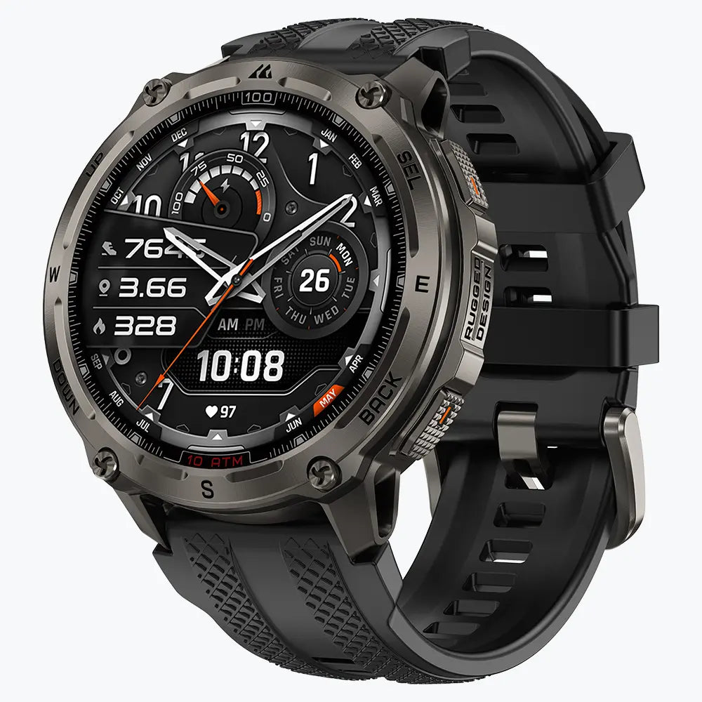
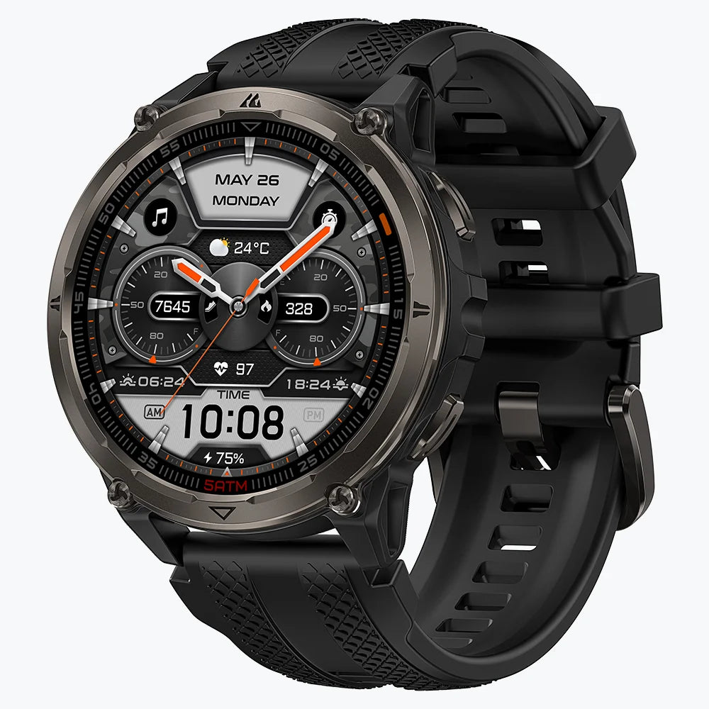
Buy the KOSPET TANK M4 for genuine map-based navigation. Buy the KOSPET TANK T3 ULTRA 2 for longer GPS endurance and straightforward Route Back. The TANK M4 is the stronger outdoor-navigation product; the TANK T3 ULTRA 2 is the lower-feature endurance choice.
| Product | What it gives you | What it does not give you | Published continuous-GPS runtime | Buying judgment |
|---|---|---|---|---|
| KOSPET TANK M4 | Dual-band, six-system GNSS; offline maps; GPX/KML import; Route Back; 32GB storage | Automatic on-watch rerouting is not documented on the cited product page | Up to 21–22 hours | Buy for unfamiliar routes and real navigation decisions |
| KOSPET TANK T3 ULTRA 2 | Dual-band, six-system GNSS; route recording; Route Back; compass; barometric altimeter | No offline maps, route import or full real-time navigation | Up to 30–35 hours | Buy for familiar routes, long tracking and returning to the start |
KOSPET TANK M4: The Better Choice for Navigation

កូស្ពេត TANK នាឡិកាឆ្លាតវៃ M4
$209.99 USD
The TANK M4 is the better purchase for unfamiliar terrain, repeated junctions and imported routes. Its offline maps provide context, while GPX/KML import through Apexmove adds a planned course. KOSPET publishes up to 21–22 hours of continuous GPS use.
Its limitations matter:
- Maps and routes require downloading before the trip;
- The official product page does not document automatic on-watch rerouting;
- Its published GPS runtime is shorter than the TANK T3 ULTRA 2;
- Map coverage and route files require verification before departure.
These compromises do not change the verdict. The TANK M4 is the KOSPET model to buy when navigation, rather than route recording, drives the purchase.
KOSPET TANK T3 ULTRA 2: The Better Choice for Endurance
The TANK T3 ULTRA 2 is the better purchase for familiar routes and long GPS recording. KOSPET publishes up to 30–35 hours of continuous GPS use, giving it a clear endurance advantage over the TANK M4.
Its limitations are substantial:
- No offline maps;
- No GPX/KML route import;
- No surrounding trail context;
- No complete map-based navigation after an unexpected detour.
Choose it only when longer GPS runtime and returning to the starting point matter more than continuing through unfamiliar terrain. It is a strong tracking watch, but it is not a substitute for the TANK M4’s navigation tools.
FAQs
Do Offline Maps Work Under Dense Tree Cover or in Canyons?
Yes, but the position marker can drift when trees or canyon walls interfere with satellite signals. Garmin confirms that dense cover can reduce GPS accuracy. Move to an open area and let the position stabilize before choosing a route.
What Happens Outside a Downloaded Offline Map Area?
GPS tracking can continue, but detailed map content ends at the downloaded boundary. Download the complete route and nearby alternative trails before departure, as explained in Suunto’s offline-map instructions.
Can an Outdoor Watch Replace a Paper Map or Satellite Communicator?
No. A standard GPS watch cannot contact rescuers without dedicated cellular or satellite hardware. The National Park Service recommends carrying a map, compass and GPS, with a physical map as backup.